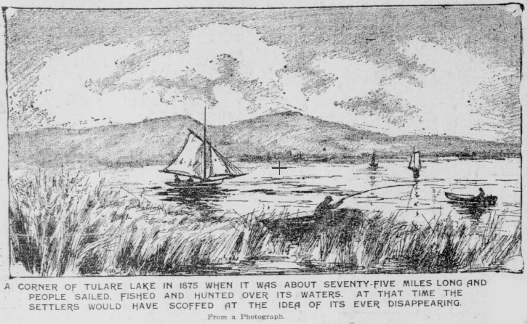
Photo of Tulare Lake.
By the author.
Newspaper drawing of the Tulare Lakeshore in 1875 from an 1898 issue of the San Francisco Call.
Public Domain.
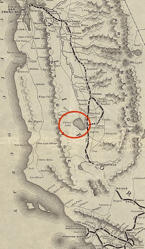
Excerpt of an 1890s Map of San Francisco & San Joaquin Valley Ry. and Atchison lines
in California.
The American Bank Note Company. Public Domain.
Composing the southern portion of California’s larger Central Valley complex, the San Joaquin Valley is one of the most agriculturally productive regions in the world. With year-round warm weather and good soil, the valley produces an outsized portion of U.S. fruits, nuts, and vegetables and earns substantial revenue from animal products. Since the 2010s, the San Joaquin Valley has also been heavily associated with climate change-induced drought, as inconsistent rain and a declining aquifer threaten to desiccate over 500,000 acres of once-irrigated farmland in the coming ten years. Contrasting its dry reputation, the valley saw an unusually wet winter this past year, which has led to the revival of Tulare Lake. Pre-1800 Tulare Lake was the largest freshwater lake west of the Mississippi River. Since the late 1800s, a network of dams and well pumps have diverted the lake’s water for irrigation, entirely replacing its former bed with farmland by 1899. However, every 20 to 30 years, flooding allows the lake to return, recovering over 250 sq miles of its former bed southeast of the city of Corcoran.
The North Shore of Tulare Lake from the air in 2015. Ken Lund.
Wikimedia creative
commons.
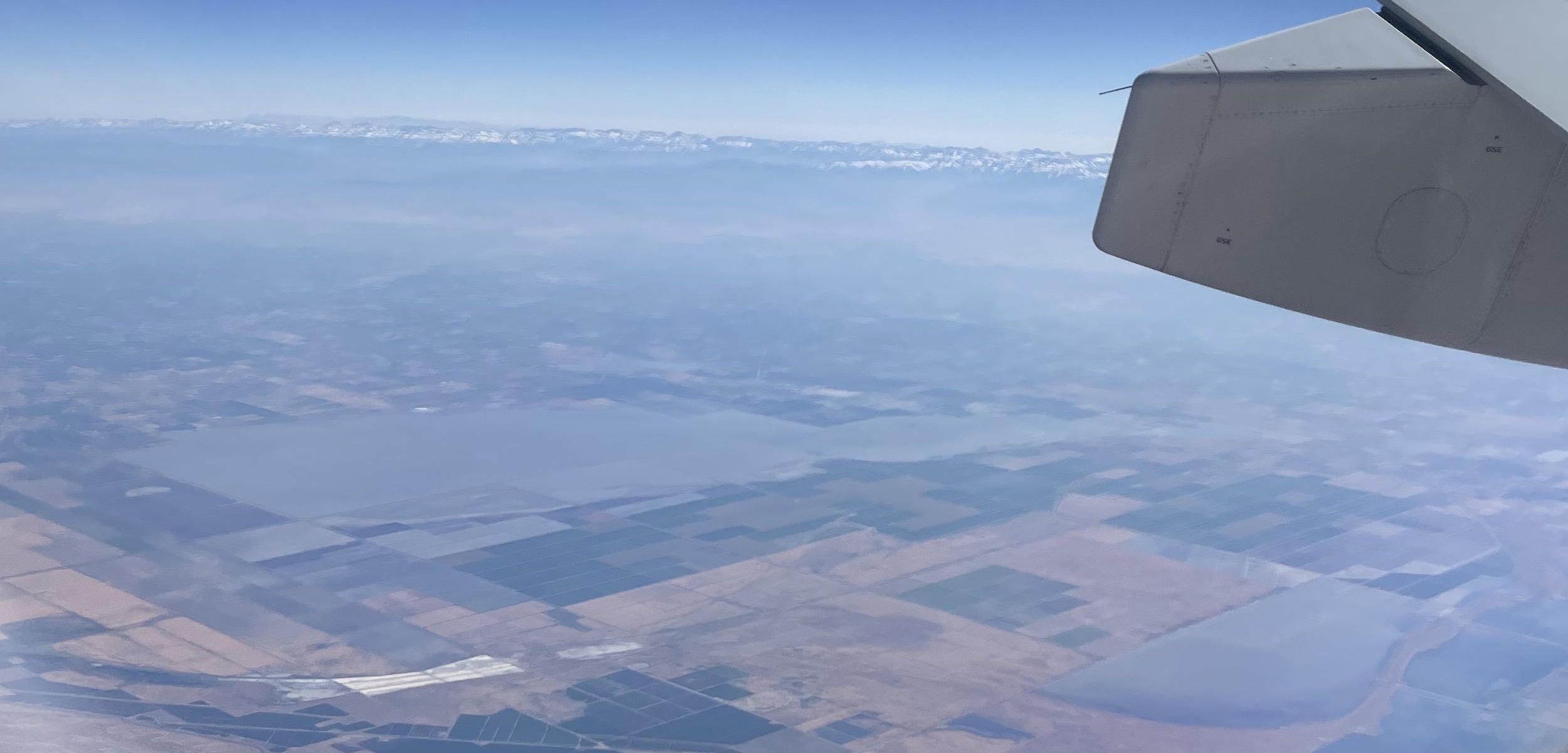
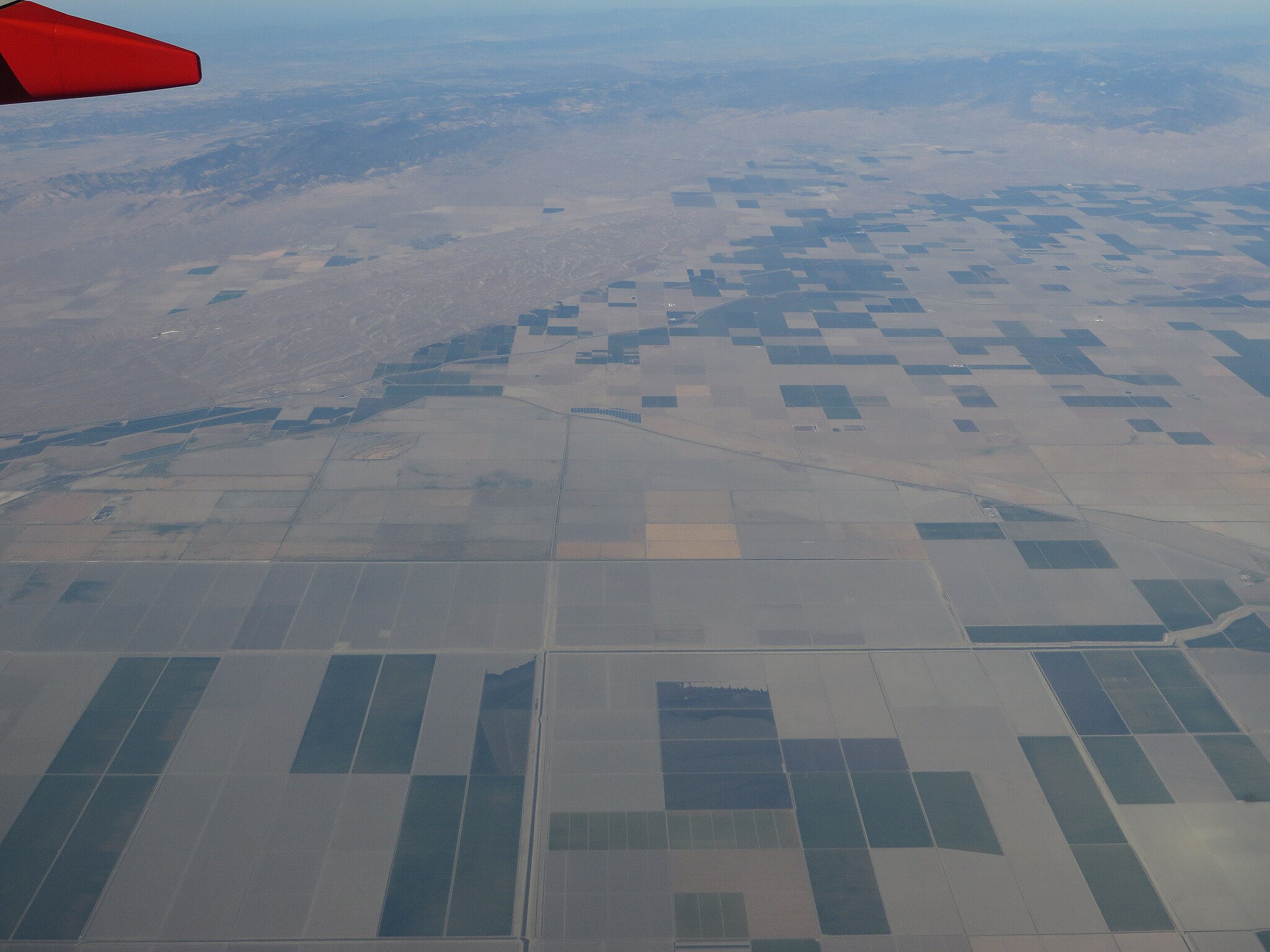
Photo of Tulare Lake from the air in July 2023.
By the author.
The history of Tulare Lake mirrors California’s other environmentally troubled waters such as Owens Lake and the Salton Sea. However, when compared to those more remote areas of water extraction, Tulare’s geographic centrality in the state’s agricultural system makes it a useful case study for understanding climate change in California. More than a morality tale of environmental hubris, the climate crisis surrounding Tulare Lake is the collision of ecological externalities with ongoing social struggles over the distribution of land and water.
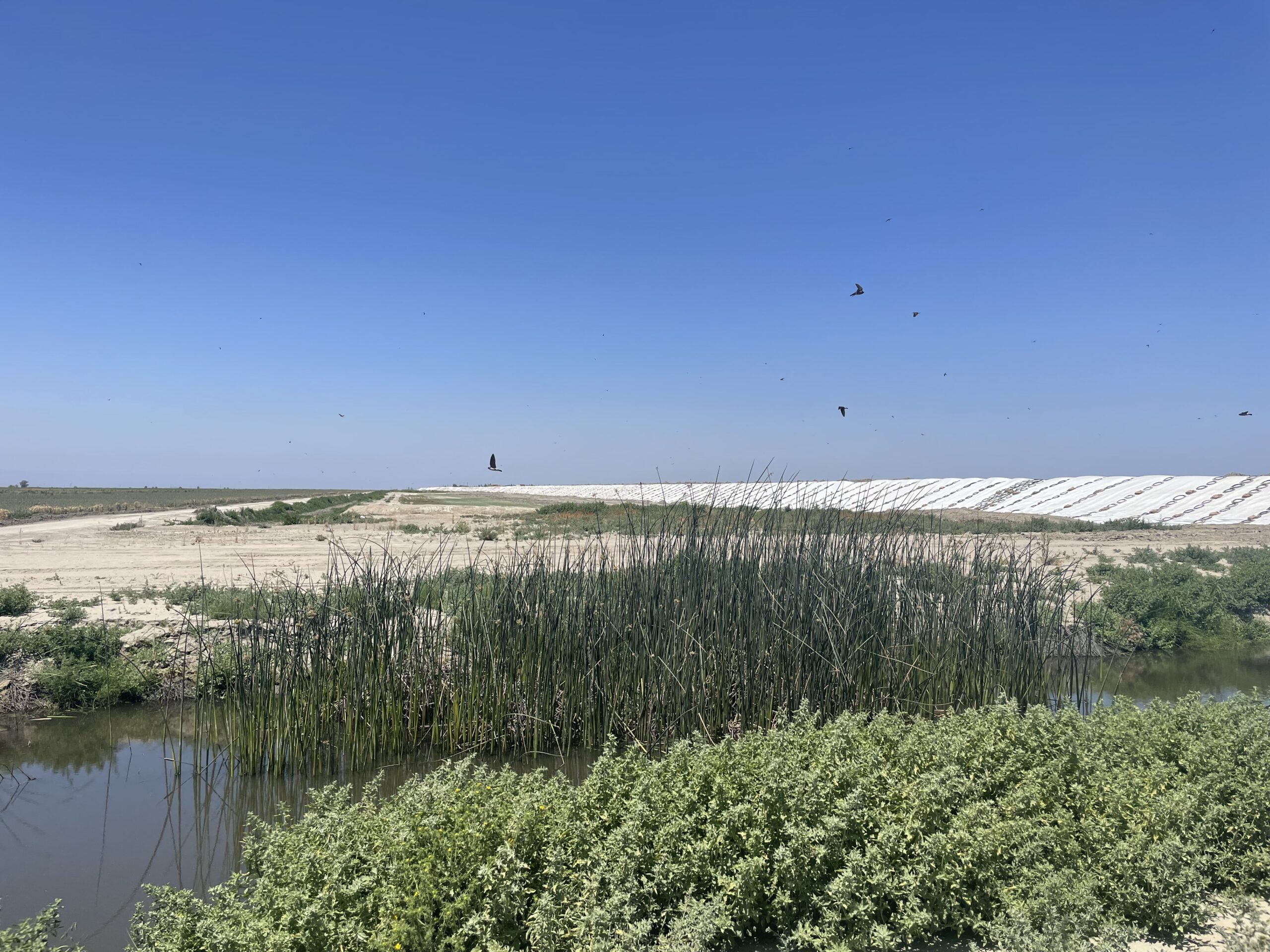
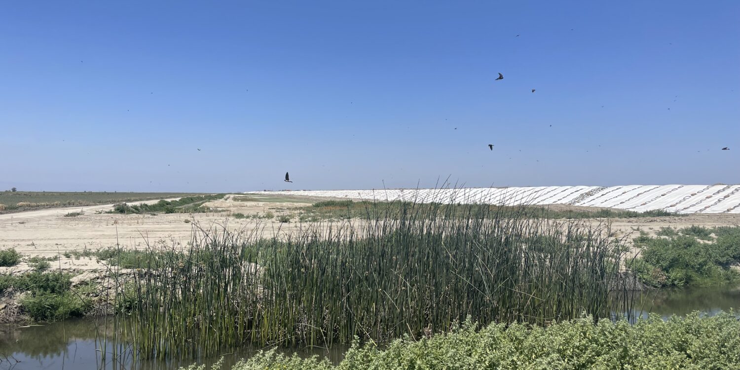
A cluster of native Tule Reeds, Schoenoplectus acutus, Tulare Lake’s namesake,
swarmed with songbirds.
By the author.
Before European contact, Tulare Lake was estimated to be around 50ft deep and 1100 sq miles wide. Due to this shallow depth, the size of the lake would vary from year to year, producing immense thickets of tule reeds around its marshy shores. The lake’s namesake, the tule reed, was a critical plant for the Yokuts who occupied the lake up to the mid-1800s. The Yokuts, a European exonym loosely translating to “the people”, were a diverse assembly of linguistically linked but independent Native tribes. With European contact, all Natives in California were exposed to foreign diseases, attacks, and subjugation by Spanish missions. This severely destabilized Yokut society. Despite these difficulties, the Spanish Californios’ low population and concentration on the coast gave the Yokuts de facto control in the valley. However, this quickly changed in the 1850s with the combined disasters of a severe malaria outbreak and the California Gold Rush. As thousands of European settlers poured into the new state, demand for Native land and forced Native labor accelerated the Native genocide. After a devastating series of massacres, most Yokuts were forced south onto the Tejon reservation, the first reservation in the state, while some took refuge on Tulare’s islands. Eventually, Native peoples from both groups were killed or dispersed to other reservations by the 1880s. The townsite of Corcoran was one of the Yokut-inhabited islands, eventually cleared for European settlement by violent cattle ranchers. With this genocide, the informal system of native land theft and assumption of Californio land grants by U.S. settlers was joined by the expedited and rationalized settlement process of the 1862 Homestead Act.
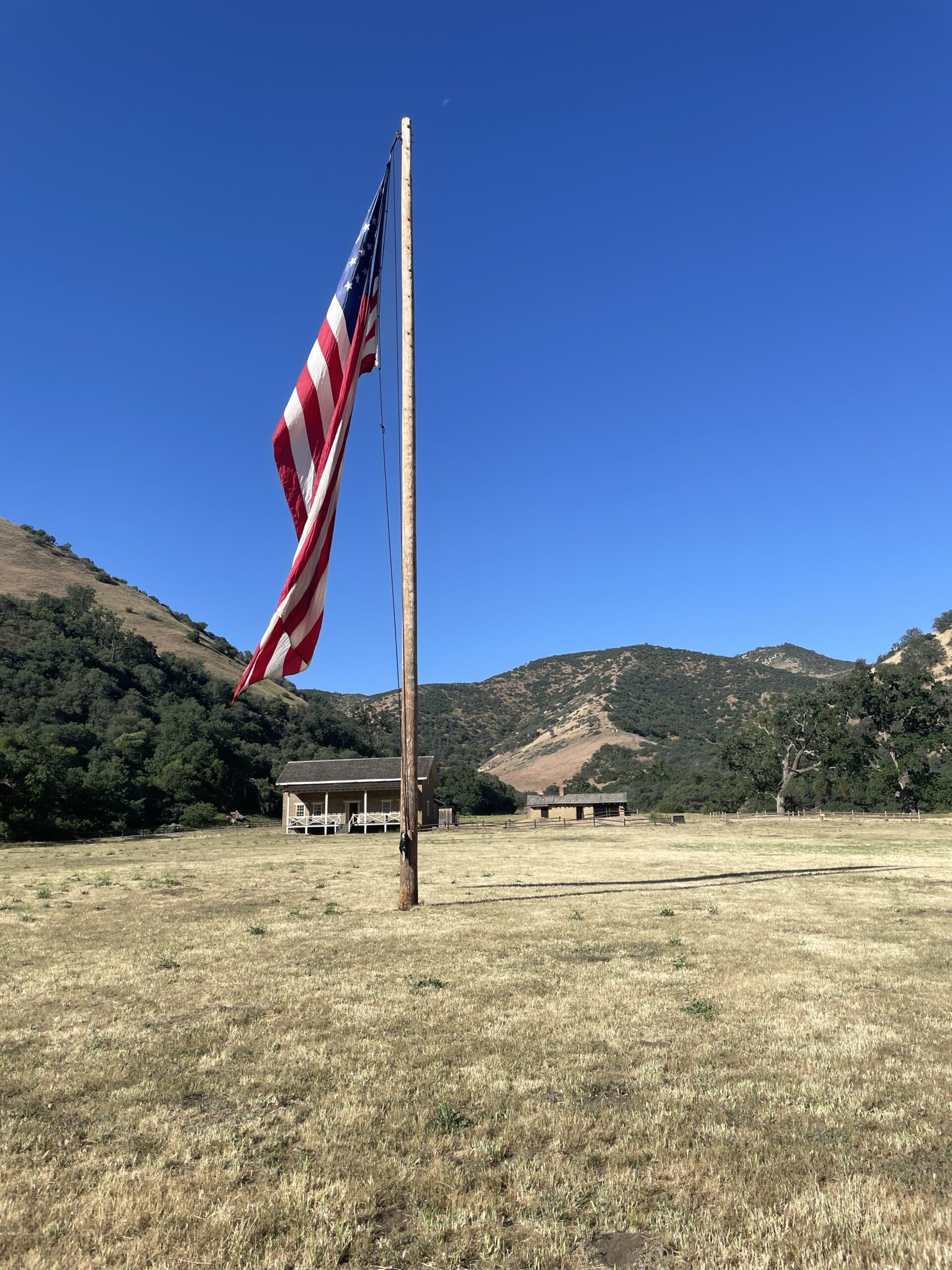
Photo of the Fort Tejon site.
By the author.
The Homestead Act’s division of Yokut land into smallholder plots attempted to export the Midwest’s smallholder agriculture to the West Coast. Despite this, farming in early California was dominated by large corporate ventures. In both acreage and laborers, these early “bonanza” grain farms and cattle ranches were closer to the plantations of the Deep South than Midwestern smallholders. After a series of droughts and the financial instability of the late 1800s, the “bonanza” farms were largely broken up, halving farms’ average acreage between 1859 and 1929. Improvements in irrigation, transportation, finance, and new growers’ associations allowed smaller farms to bring in large profits from cash crop cultivation.
One group to buy into this changing ecological and economic landscape were the followers of the Black reverend Colonel Alan Allensworth. In 1908, with his wealth, education, and connections to elite circles, Allensworth and his peers purchased a tract of land southeast of Tulare’s former shore and established the town of Allensworth. Planned with a school referred to as the “Tuskegee of the West” this all-Black-owned town was a small attempt to rectify the broken promise of emancipation, providing Black families access to land ownership, education, and civil society. Despite a promising start with hundreds of residents, the removal of their railroad stop and water diversions by surrounding farms slowly killed the town, leaving it mostly abandoned by the 1940s.

Photo of Allensworth.
By the author.
It was also during this period of agricultural re-organization that Tulare Lake saw its first complete desiccation in 1899. In the span of a few decades, local groundwater pumping and diversions of the Kern River, the lake’s primary source, had transformed the shallow but sizable lake into an expanse of cracked earth. It would take until the 1940s for more robust flood control and irrigation infrastructure to make the lakebed reliably farmable. But these measures have failed to prevent Tulare Lake’s resurgence every few decades.
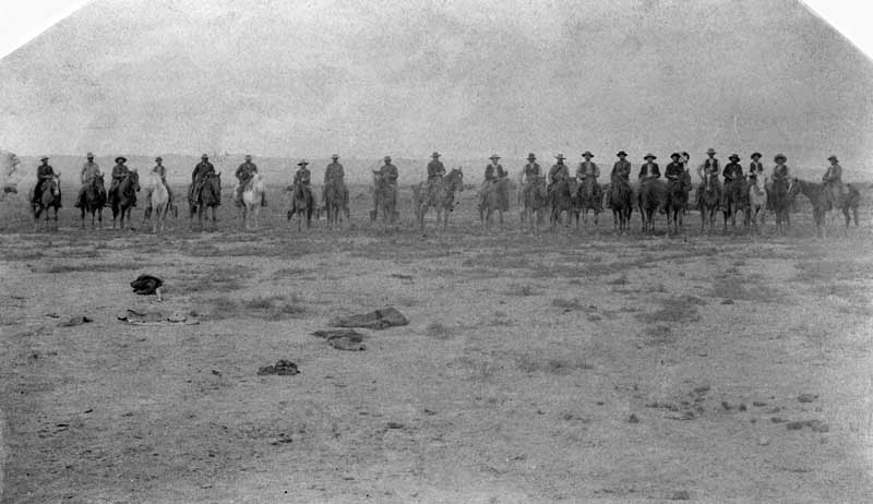
1884 photo of Cowboys on the dry north shore of Tulare Lake.
Public Domain.
Despite the turn-of-the-century growth in smallholder farming, the San Joaquin Valley soon pivoted towards Southern-style consolidation once more. By the 1920s, with a boll weevil blight devastating the cotton crop in the Southeastern U.S., cotton cultivation in the comparably weevil-free California exploded. Corporate agriculture exploited this new cash crop, benefiting from innovations in mechanization and the growing pool of migrants from the Dust Bowl to outstrip Southern farms in acreage and laborers.A similar pattern occurred in the ranching, poultry, and dairy industries. Cotton grown on Tulare Lake, and in the surrounding valley, was central to the local economy until the decline of U.S. textile manufacturing in the 1960s through 1980s. Even as former cotton growers diversified their crops towards more profitable tree nuts and specialty fruits, this trend of consolidation has continued, exacerbated by worsening drought.
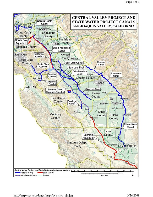
Map showing Central Valley Project and State Water Project canals in San Joaquin Valley of California.
CSU Stanislaus.
Today, water in the modern San Joaquin Valley is derived from two sources. The massive Governor Edmund G. Brown California Aqueduct, completed in the 1960s, just west of Tulare, diverts more abundant water from the Sacramento Delta and sends it south. The San Joaquin Valley consumes a massive 30% of this supply in supplement to groundwater. With historically robust aquifers, still over 30% of the water for valley farms and towns is drawn from local wells. With the past decades’ resurgence of drought, supercharged by anthropogenic climate change, both water sources are declining, heightening water disputes between local, corporate, and state bodies. The most politically visible manifestation of the water dispute is the planned, multi-billion dollar Delta Conveyance tunnel project. Proposing to pipe water from the northern edge of the already tapped Sacramento River Delta into the aqueduct system, the Delta Conveyance has been thoroughly scrutinized by environmentalists and Native groups connected to the affected rivers. It also invokes the larger question of why the state should meet the outsized water demands of farmers, instead of encouraging them to adjust how and what they grow to meet future water availability.
While agriculture is an inherently water-intensive activity, water shortage alone fails to explain the Valley’s persistent thirst despite its long-standing awareness of drought cycles. Although they are a popular scapegoat, tree nuts like almonds are only partly to blame, ranking among the top three California crops for overall export profits as well as water intensity. Requiring 3.2 gallons of water per nut, almonds are one of the most pervasive crops in the San Joaquin Valley, accounting for 80% of the world’s total almond production. Other “thirsty” crops are also popular, like the alfalfa grown for local and international livestock herds. Regardless of product, the system of water rights in the modern valley ensures that agribusiness prefers water-intensive crops.
This bias exists because, with negligible labor costs and subsidized production, California’s “first use” policy on water rights attaches much of a crop’s value to its demand for water. All surface water rights in the state operate on seniority. The first farms to use the water from rivers or aqueducts are the last to face cuts. For groundwater, until recently there has been practically no limit on the number or depth of wells on a given property. As a result, older and wealthier farms with water-intensive crops are more valuable. In a drought, one of these farms can simply change crops or fallow their fields, selling their excess water to struggling farms and towns. As these farms grow in value, they pay for new deeper wells to hedge their water supply. With the increasing density of wells, aquifers have few opportunities to replenish, causing thousands of older, shallower wells used by poorer households to run dry in the past decade. This depletion of the aquifers also damages local infrastructure as the desiccating ground subsides beneath roads, homes, and levees, in some areas over eight meters since the 1920s. At the same time, farmers aggressively market their crops, typically as a part of a health trend. Other farmers hop on the crop bandwagon, gambling that their water allotments and wells will last before someone else’s runs out. With this system, large farms can absorb their struggling competition and their water allotments, consolidating ownership.
Amidst all these tensions of consolidation and over-extraction, Tulare Lake has again reappeared. As it currently exists, the lake is a disaster area. Water tainted by sewage and farm runoff covers thousands of once-active fields. With over $300 million worth of damages and the near destruction of the town of Corcoran, hundreds of people’s lives have been severely disrupted. There also remains some controversy on how the damage of the flood was distributed. Subsidence contributed to weakening levees and lowering areas worsening flood conditions region wide. But some farmers additionally accuse flood planners of preferentially protecting large farming operations near the former lake bottom at the expense of smaller, now flooded-out farmers further upstream.
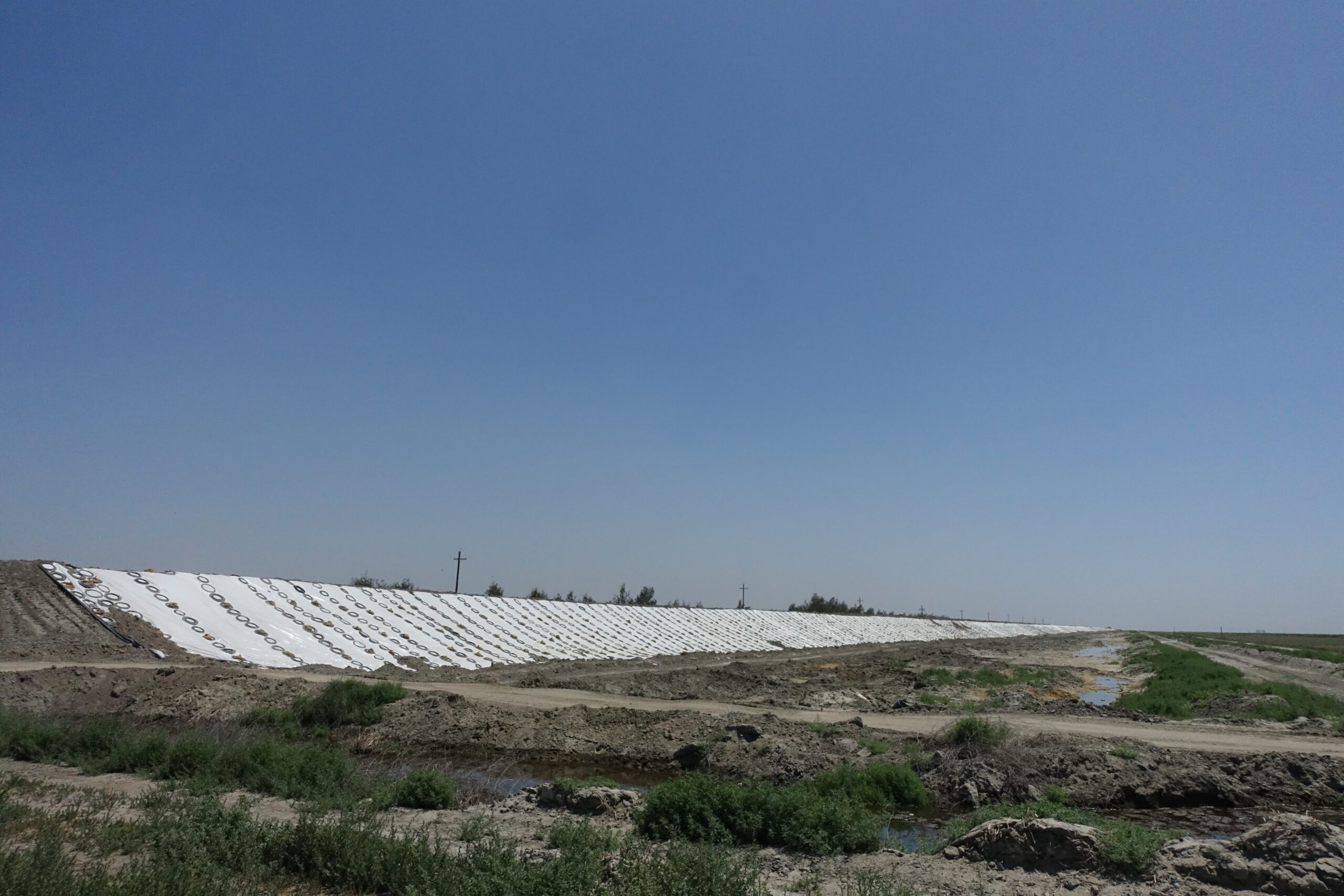
Photo of the flood preparation near Tulare Lake.
By the author.
Despite these sizable problems, the lake has an undeniable beauty, bearing immense potential for change. Though not entirely unpredictable, Tulare’s unexpected presence has shifted perceptions of old struggles between large farms and valley residents. The Tachi Yokut tribe, many of whom still farm in the region, organized several public ceremonies to spiritually connect with the lake and argue for its restoration and return to the Yokut people. More than a symbolic gesture, the permanent return of the lake would help revitalize the overstressed environment of the valley. Additionally, its return to the Yokut tribe would set a legal precedent for tribal water rights to supersede the currently destructive first-use rights system. The newfound media attention in the region has also extended to Allensworth, where remaining residents seek to revive the town’s founding vision for a self-sufficient Black community. While sympathetic, environmental experts caution that permanently restoring the lake would necessitate a severe reduction in groundwater pumping, requiring thousands of acres to be fallowed. This change would demand a confrontation with California’s entrenched agribusinesses.
The return of Tulare Lake is a reminder that climate change entails a heightening of extremes rather than a consistent experience. It is the hairpin turn of historical forces, not a steady curve. Drought will worsen but so will floods; this fact challenges the vision of managed decline that the major growers of California have counted on to retain and expand their claims to land and water. When both those resources are subject to new externalities, old claims of propriety face new challenges.
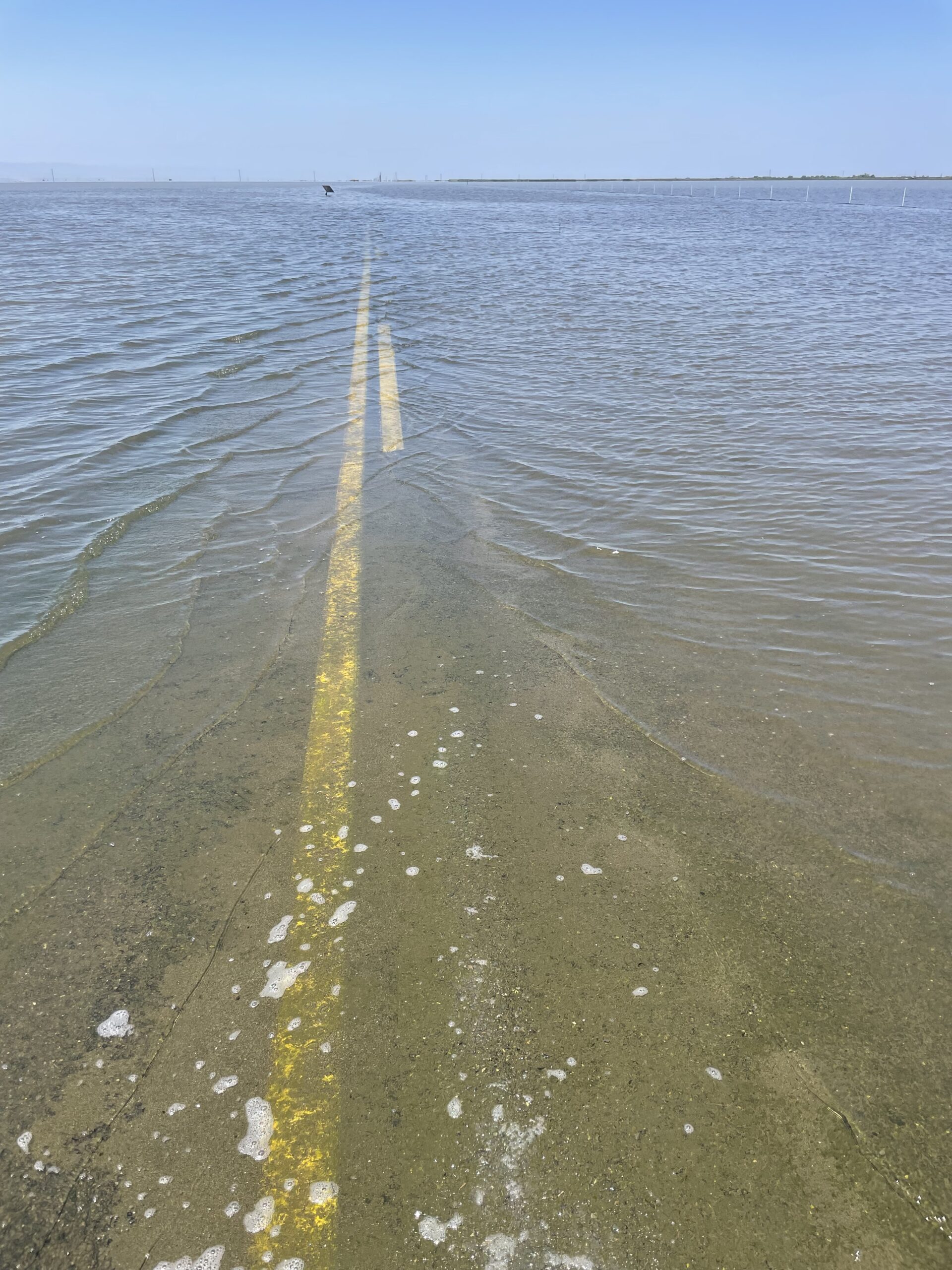
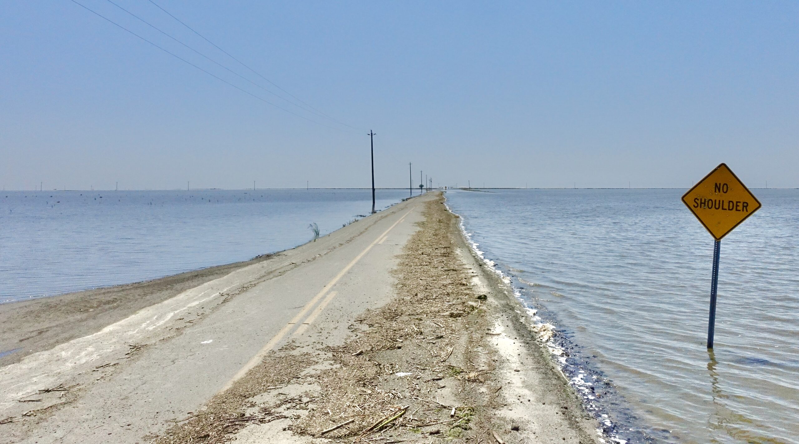
Photo of the road disappearing into Tulare Lake.
By the author.